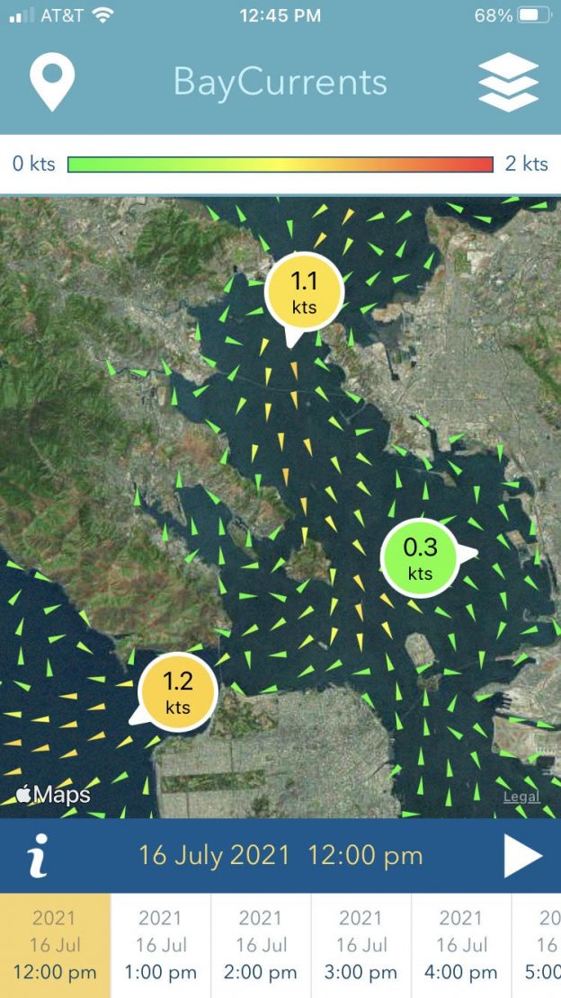
BayCurrents is a mobile app for displaying maps of high resolution surface currents within the San Francisco Bay. The app is intended to support a wide range of maritime activities, from recreational fishing and sailing to the operation of professional transport vessels. The source for the surface current data is a numerical model operated by the National Oceanic & Atmospheric Administration (NOAA). The model assimilates oceanographic high-frequency radar (HFR) measurements from the Central & Northern California Ocean Observing System (CeNCOOS) HFR Network, along with other observations such as tides and wind. The resulting dataset contains current vector fields for hourly timestamps ranging from the recent past, to the present and up to 48 hours into the future. The complete vector dataset is downloaded by the app to allow autonomous offline operation.
Support
Android
iPhone
For app support, please contact CeNCOOS.
Privacy Statement
The Bay Currents app keeps user entered locations only on the device. All data is stored locally on the device. The data is stored for as long as the app is installed on the device. Users may delete their entered locations within the app.
A user may revoke consent and delete their data by deleting the app from the device.
No data is sent from the device to any server. Data is not shared with any 3rd parties.