Tag Archives: Measurements
Pt Arena Glider Line 56.7
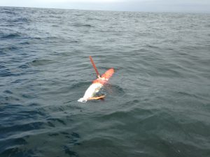
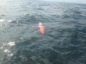
Thursday, April 09, 2020 - 12:00amCurrent Glider Position Track (blue line) and current location (red dot) A glider continuously transects CalCOFI Line 56.7 between Pt. Arena and 500 km offshore to the southwest. Gliders have been collecting observations along this track since 2019. The map on the right shows the current location of the active glider.The active mission data is […]
Spray 29 (Naval Postgraduate School/testbed glider)
Thursday, April 09, 2020 - 12:00amGlider Track Below are data from the Naval Post Graduate School SPRAY glider 29 deployed in May 6, 2019 in Monterey Bay. The map on the right shows the track of the glider. Plot Information: The contour plots below display water temperature, salinity, chlorophyll flourescence and optical backscatter from the surface to 500 meters depth. […]
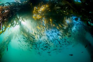
New Project: California MPA Monitoring Data Integration
Monday, November 25, 2019 - 12:00amCalifornia’s network of marine protected areas (MPAs) serves to protect and manage the diversity and abundance of marine life, the habitats species depend on and the integrity of the ecosystems themselves. One challenge to safeguarding these resources is understanding how they are changing over time and space. While CeNCOOS and SCCOOS have multiple accessible datasets […]