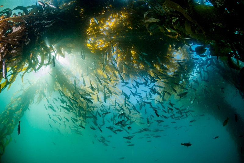
California’s network of marine protected areas (MPAs) serves to protect and manage the diversity and abundance of marine life, the habitats species depend on and the integrity of the ecosystems themselves. One challenge to safeguarding these resources is understanding how they are changing over time and space. While CeNCOOS and SCCOOS have multiple accessible datasets and ocean models drawing from an unparalleled array of assets in place across the entire state, products tailored specifically for quantifying changes in the MPAs do not yet exist.
With a new grant from California’s Ocean Protection Council (OPC), CeNCOOS is developing developing curated data analytics that compile environmental, water quality and MPA monitoring data — including data on runoff, atmosphere and ocean physics, ocean biogeochemistry and ecosystems. By pulling this information together in easily accessible data products, resource managers will have greater knowledge to manage these key resources using sound science. The project will integrate field observations and ocean weather data into new products that will capture information relevant to individual MPAs, their surrounding waters and the regional climatic conditions. Developing these tools will allow for a better understanding of connectivity between MPAs and will ultimately provide a more comprehensive picture to better inform decisions on how to manage the valuable habitats and living resources in our region.
Project partners include the Southern California Coastal Ocean Observing System (SCCOOS) and the University of California, Santa Cruz (UCSC), along with other MPA project contributions from Moss Landing Marine Laboratories (MLML), the University of California, Santa Barbara (UCSB), Reef Check, California State University, Monterey Bay (CSUMB), EcoTrust and many more.