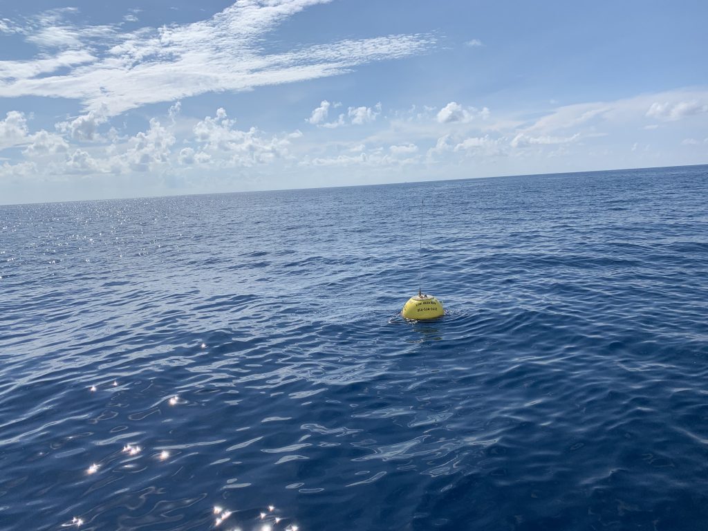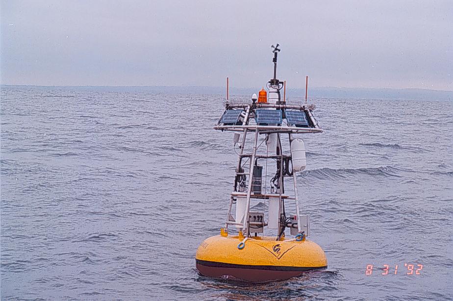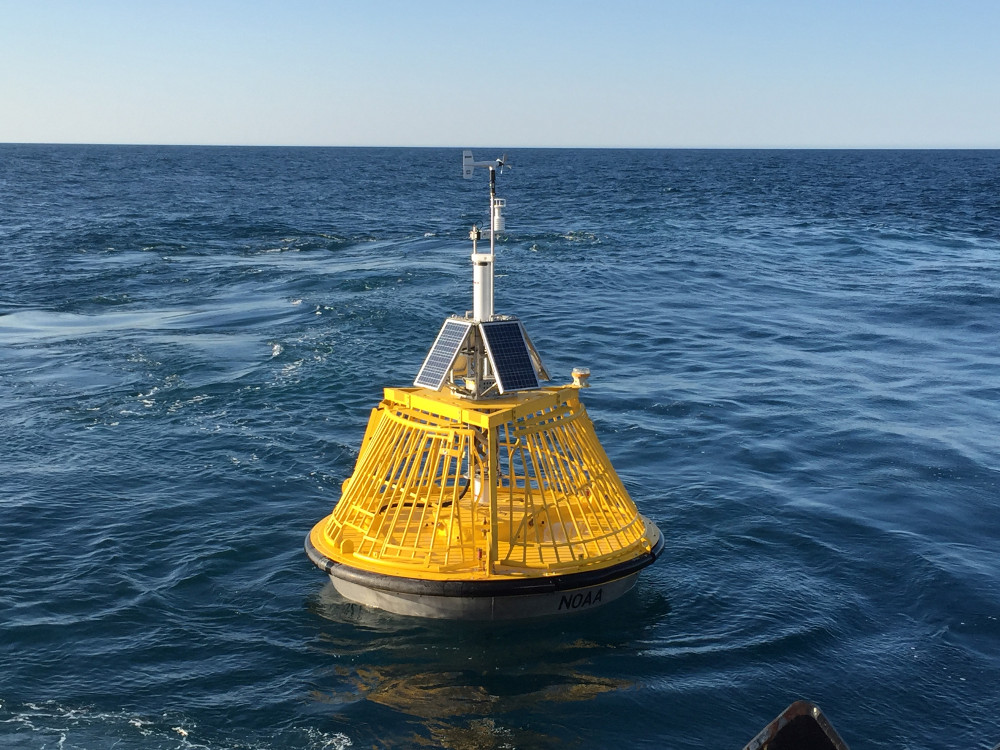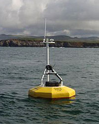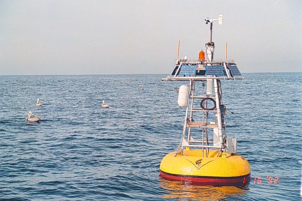
Moorings are platforms are anchored, i.e. moored, to the ocean floor and can include a floating structure, or buoy, at the surface ocean. A number of sensors and technologies can be affixed moorings and buoys for a single purpose such as waves or include a variety of sensors mounted both above and below the water surface. Most moorings and buoys relay data back to shore in real-time. Profiling buoys include sensor packages that regularly move up and down the mooring providing a comprehensive look at the water quality. Buoys can be outfitted with sensors for wind, waves, currents, salinity, chlorophyll a, and other ocean chemistry and biology parameters.
Moored platforms in the CeNCOOS region include:
| Mooring | Date First Deployed | Date Last Recovered |
|---|---|---|
| M0 | 2004 | 2011 |
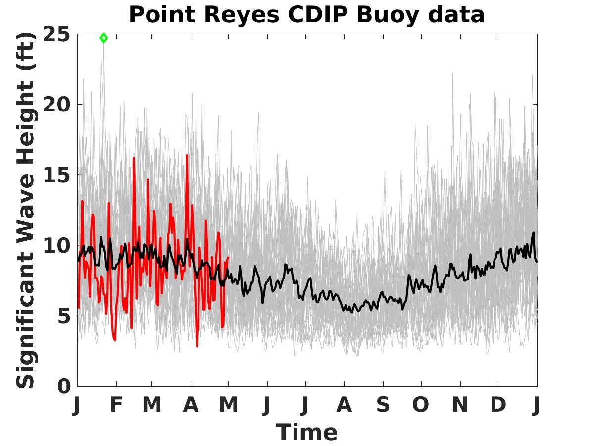
| M1 | 1989 | On going |
| M2 | 1992 | 2011 |
| OA1 | 2013 | On going |
| OA2 | 2013 | On going |
BOB and MARI |
2018 | Awaiting Redeployment |
| LO1 | 2003 | On going |
| Tomales Bay | 2013 | On going |
| BML Buoy | 2004 | On going |