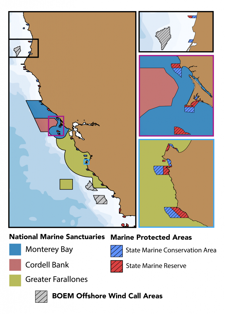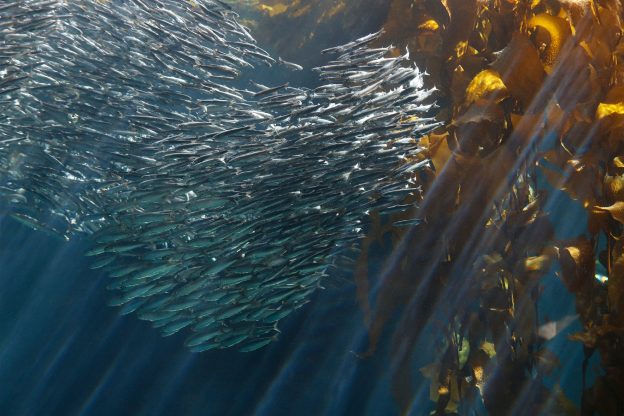
The productivity, wildness and beauty of California’s coastline is central to the state’s identity, heritage and economy. In 1999, the state legislature passed the Marine Life Protection Act with the goal of protecting California’s marine heritage through the establishment of a string of marine protected areas (MPAs). These MPAs are designed to protect the diversity and abundance of marine life, their habitats and the overall integrity of these important marine ecosystems.
These protected areas face numerous stressors, many of which have some interacting and complicating effects, including the occurrence of higher peak temperatures over time, changes in circulation, stratification and delivery of nutrients for primary production, pH changes, harmful algal blooms and more.
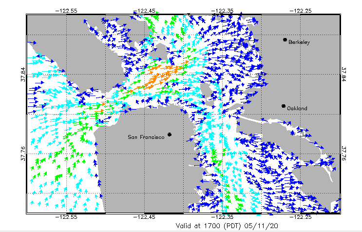
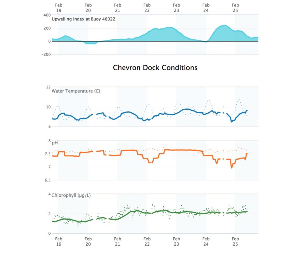
One challenge to safeguarding these resources is understanding how they are changing over time and space. While CeNCOOS and SCOOS have multiple accessible datasets and ocean models drawing from an unparalleled array of assets in place across the entire state, products tailored specifically for quantifying changes in the MPAs do not yet exist.
Together, CeNCOOS and SCOOS are developing curated data analytics that compile environmental, water quality and MPA monitoring data — including data on runoff, atmosphere and ocean physics, ocean biogeochemistry and ecosystems. By pulling this information together in easily accessible data products, resource managers will have greater knowledge to manage these key resources using sound science.