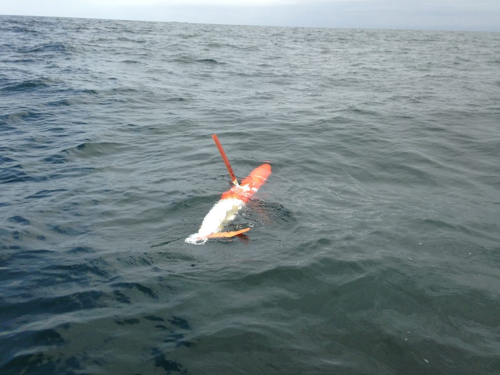
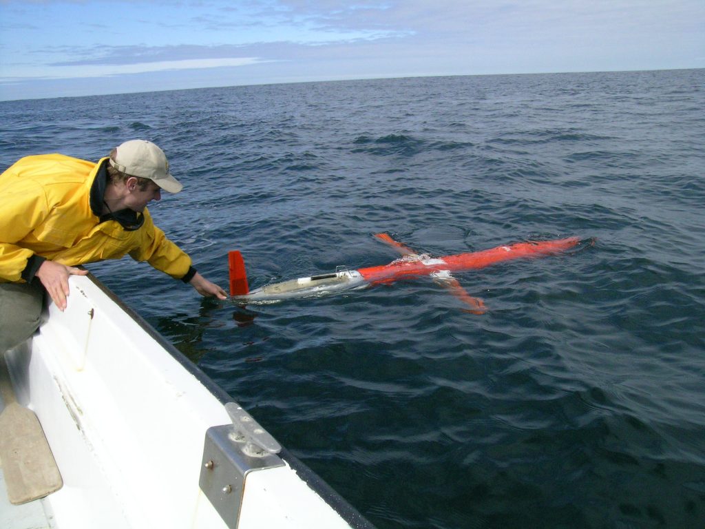
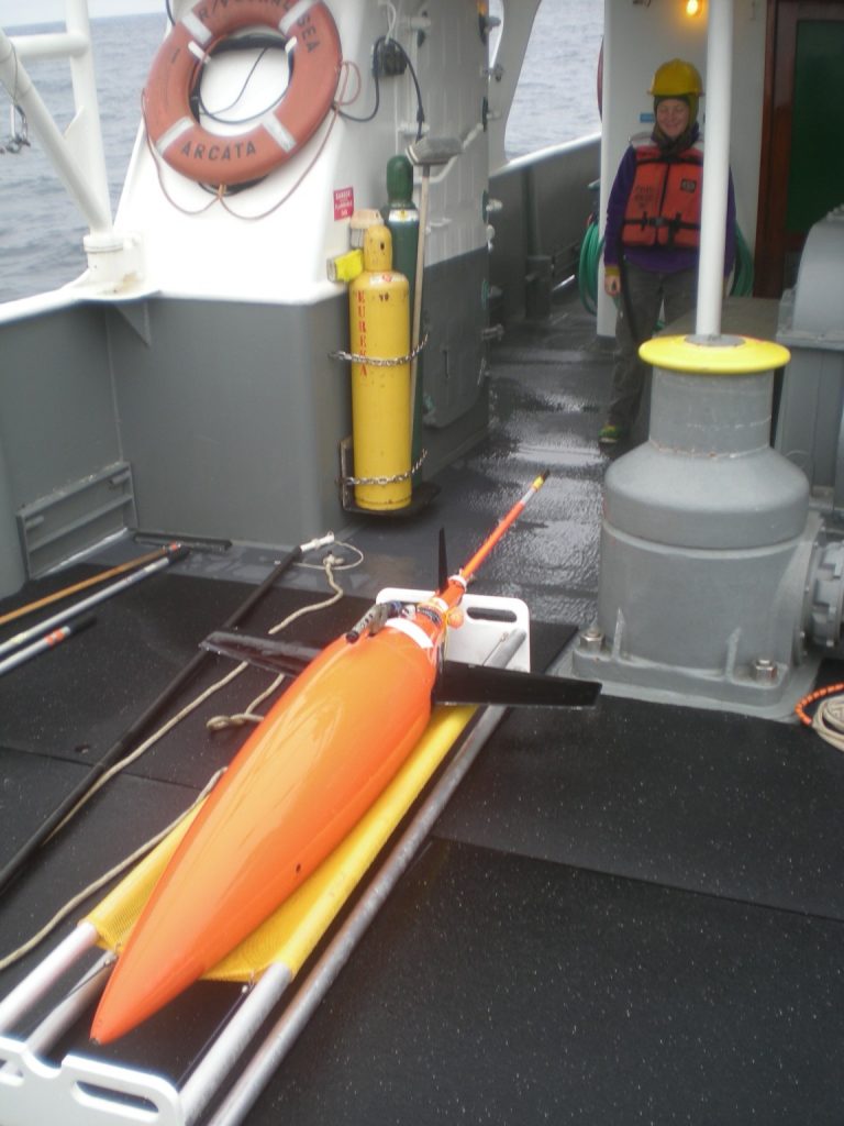
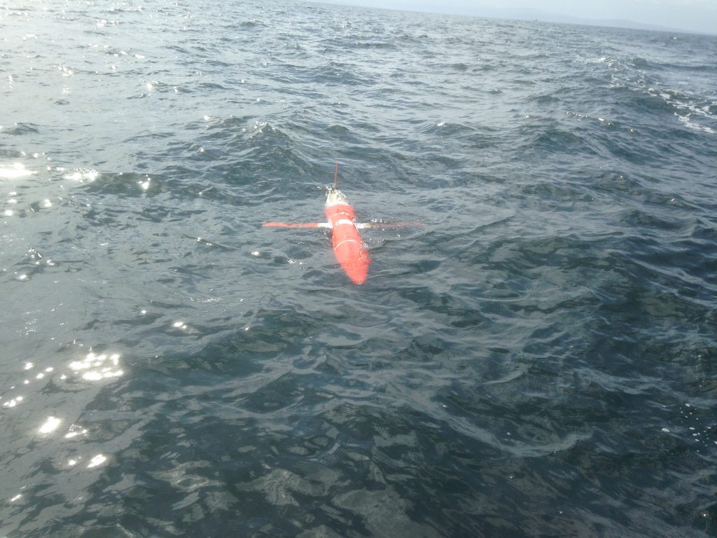
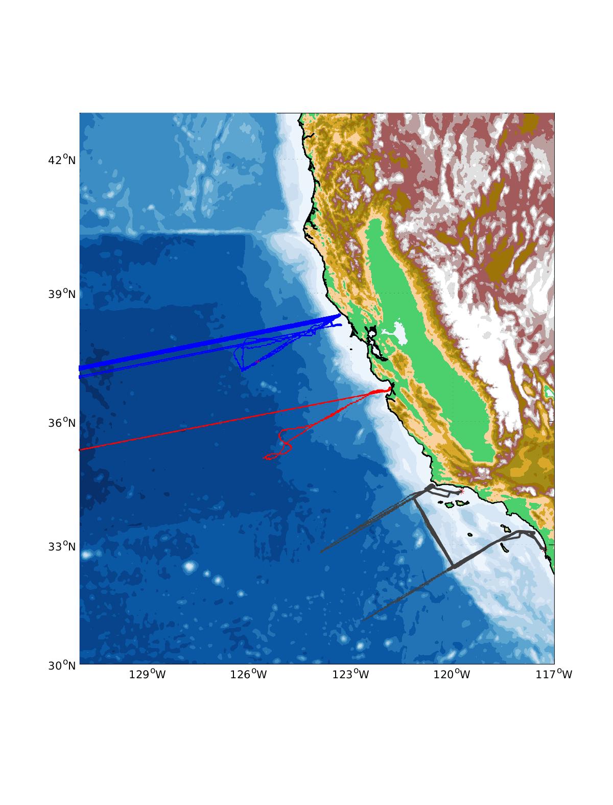
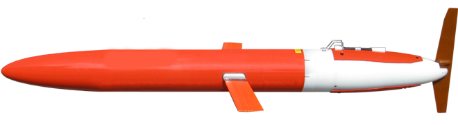
| California’s underwater glider network tracks ocean heat, thermal stratification, nutrients, pH, dissolved oxygen; Providing critical in-water measurements to predictive modeling systems. Typically, the gliders sample water temperature, salinity, chlorophyll fluorescence and acoustic backscatter from the surface to 500 meters depth. Gliders provide a cost-effective means for documenting hypoxia, ocean acidification, stratification (∂T/∂z), and upwelling.
Glider observations are supported collaboratively by MBARI, Scripps Institute of Oceanography, Oregon State University, NaNOOS and CeNCOOS with funding from NOAA and the State of California. Use the listing below to see details for each mission and access data from both active and previous glider missions. |
 |
|
 |
 |
|
Active Glider Missions
| Mission | Location | Begin | End | Portal link |
|---|---|---|---|---|
| Line 66.7 | Monterey Bay / Offshore | 2007 | On going | Monterey |
| Line 56.7 (Pt. Arena) | Point Arena | 2019 | On going | Pt. Arena |
| Trinidad | Trinidad Head / Offshore | 2015 | On going | Trinidad |
| NPS G29 | Monterey Bay Area | February 2021 | glider is deployed and recovered periodically for engineering tests of pH sensor | |
| NPS G34 | Monterey Bay Area | April 2021 | glider deployed and recovered periodically for engineering tests of pH sensor |
Completed Glider Missions
| Mission | Location | Begin | End |
|---|---|---|---|
| NPS G34 | Monterey Bay Area | April 2017 | recovered, pressure case leak/failure |
| Nemesis | Monterey Bay Area | November 2017 | recovered |
| UCSC 294 | UCSC 294 ECOHAB / CANON | 2015-05 | 2015-06 |
| UCSC 260 | UCSC 260 ECOHAB / CANON | 2015-05 | 2015-06 |
| TEX Wave Glider | Monterey Bay | 2014-02-06 | 2014-02-28 |
| Wave Glider | Monterey Bay | 2013-07-20 | 2013-10-05 |
| NPS Glider 34 | Monterey Bay | 2013-08-29 | 2013-10-27 |
| NPS Glider 29 | Monterey Bay | 2013-08-29 | 2013-10-27 |
| CANON 2013 UCSC 294 | Monterey Bay | 2013-09-20 | 2013-10-27 |
| BENEX 2011 | Monterey Bay | 2011-08-16 | 2011-10-27 |